New Metop-SGA1 weather satellite delivers wonderful images
The European Organisation for the Exploitation of Meteorological Satellites (EUMETSAT) has released the first images of Earth from the METimage instrument, which is aboard the Metop Second Generation A1 (Metop-SGA1) satellite, launched in August and highly significant for Finland as well.
The stunning and high-quality initial images and data support national weather services in improving forecasts that save lives, protect communities, and benefit economies.
The satellite, its instruments, and the ground station infrastructure required for image processing are currently undergoing testing, calibration, and validation. Once these processes are complete, images will be produced and published operationally for weather forecasting and other critical services.
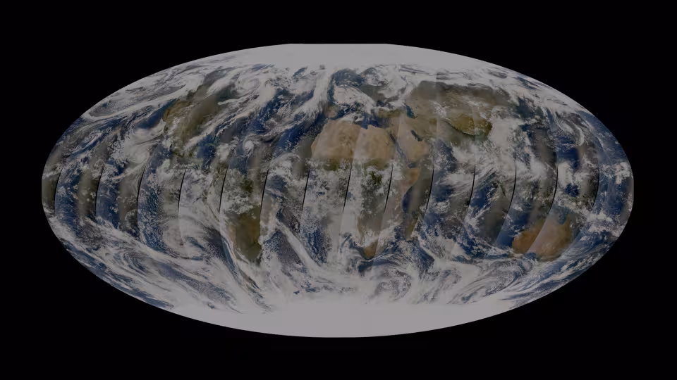
The first METimage image, taken on 24 September 2025, covers Europe and North Africa, revealing complex cloud structures associated with a cold front over Central Europe. The images also show a storm developing over the Adriatic Sea and Central Mediterranean, as well as interesting surface features such as the forests of the Carpathians and Balkan Mountains, Turkey’s shimmering lakes, and stark contrasts between North Africa’s deserts and greener regions.
Subsequent images from the instrument’s first global imaging cycle include dramatic views of Hurricane Humberto over the Atlantic and Tropical Storm Neoguri over the Pacific, variations in ocean color from mixed sediments and bright sandy bottoms off the Caribbean and Australia, fog blanketing the U.S. Great Lakes region, and a cloud-free panorama of Asia, with the Himalayas visible down to individual snow-filled valleys.
The Metop-SGA1 satellite orbits Earth at an altitude of approximately 830 kilometers in a sun-synchronous polar orbit. Its METimage is a new multispectral radiometer that provides near-global daily coverage. It observes across 20 visible and infrared channels with a 500-meter resolution at nadir, significantly sharper than its predecessor, the Advanced Very High Resolution Radiometer (AVHRR) on the first-generation Metop satellites, which had a resolution of up to one kilometer.
This capability supports precise observations of clouds, water vapor, aerosols, land and sea surface temperatures, ice cover, vegetation, and even active wildfires.Experts have also provided early versions of the first data products, such as detailed cloud maps, which already give a strong indication of how METimage observations can enhance numerical weather prediction, improve storm nowcasting, accelerate wildfire detection, and support better air quality forecasts.